Township Plans, Registers, and Settlement Maps
Provincial Archives of Alberta staff recently completed a large project to ensure all 18,010 Township plans and related documentation from the accession GR2004.0214 are available for research on our new AtoM database (Township Plans, Registers and Settlement Maps). The project included compiling accurate counts of the plans, gathering dates and scanning.
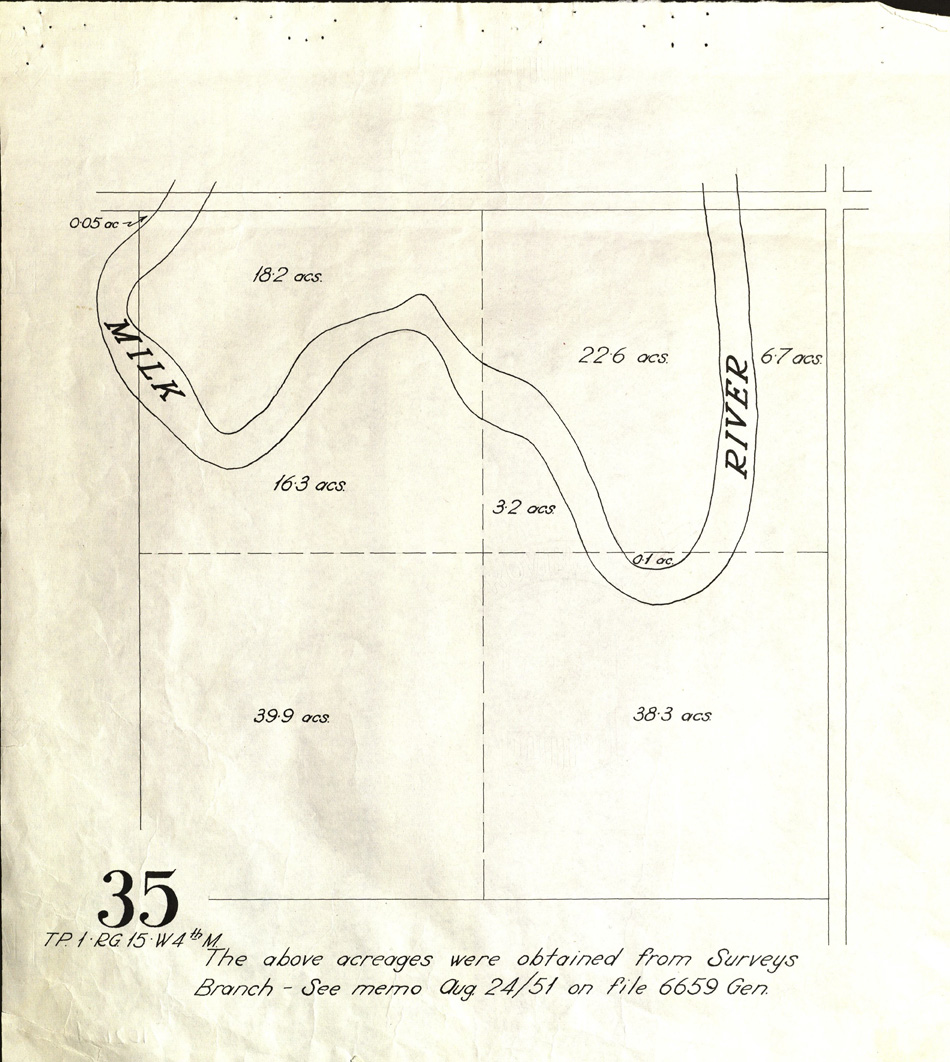
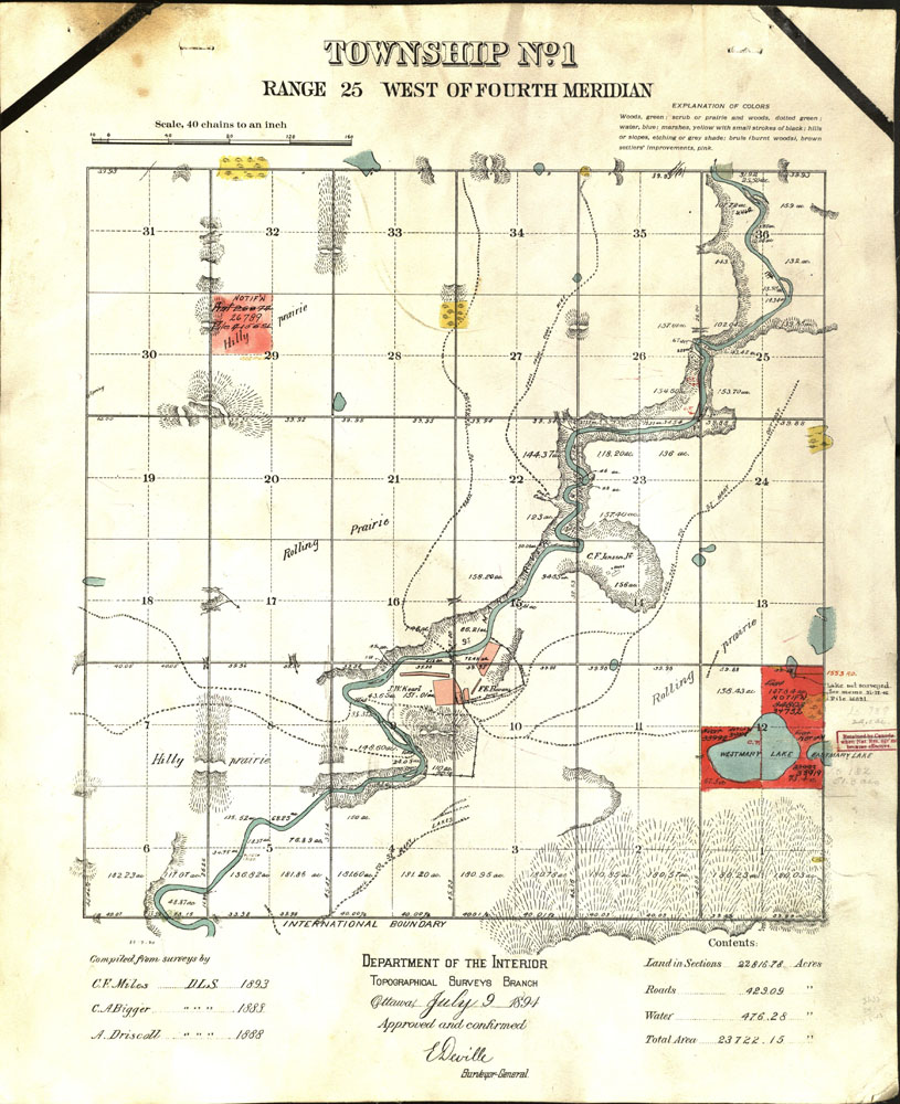
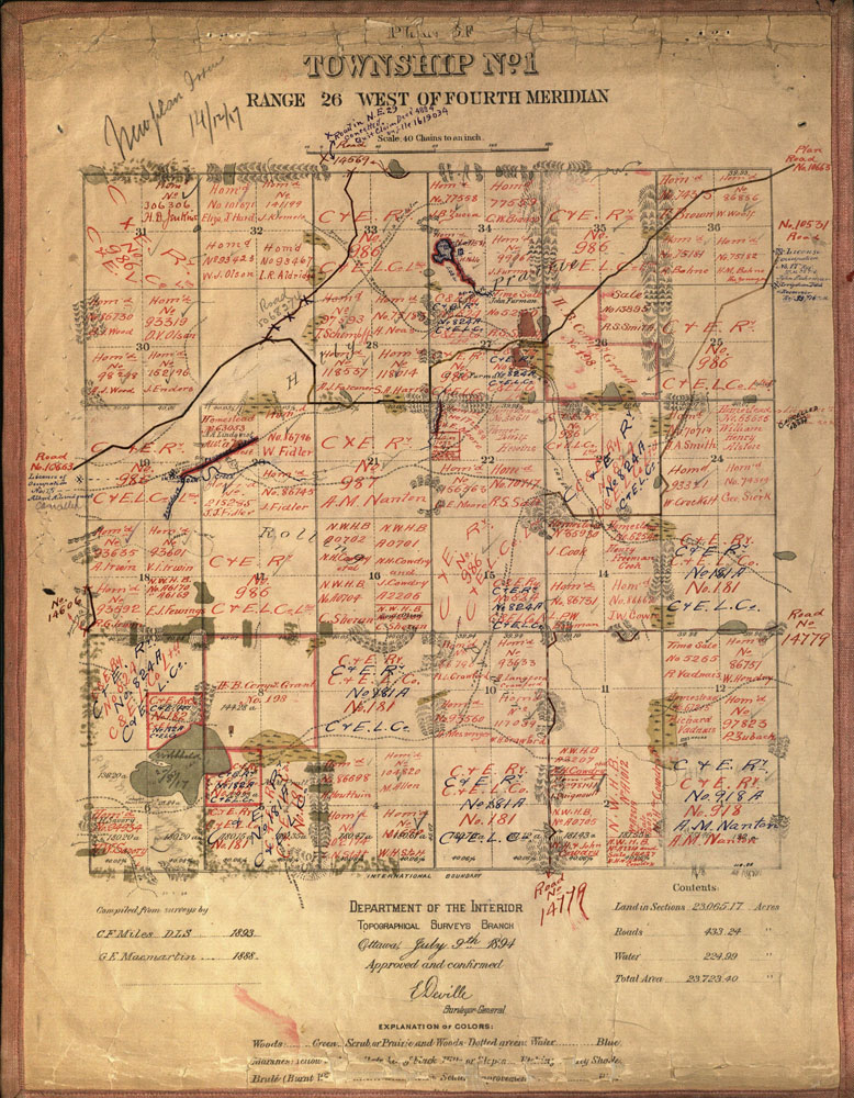
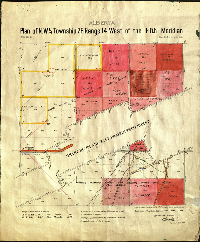
Official township survey plans are the result of official surveys conducted as early as January 1873 and still occur today. The surveyors worked on the principles of astronomy and divided what would become the province of Alberta into a grid system composed of ranges, townships, and meridians. Township plans were used as a visual indexing tool for creation of homestead leases, dispositions and other uses of the land, allowing the government to identify who used, leased or purchased land.
These records, some of which are over 150 years old, have been widely used and well loved over their past 20 years at the Provincial Archives of Alberta. As a result of their deteriorated condition and fragility, these maps are no longer available in the Sandra Thomson Reading Room. Digitized images are available here, Township Plans, Registers and Settlement Maps.